Leon
Puts GPS coordinates into photographs, JPEG and camera RAW, from a track recorded at the same time.
macOS 26+
Features
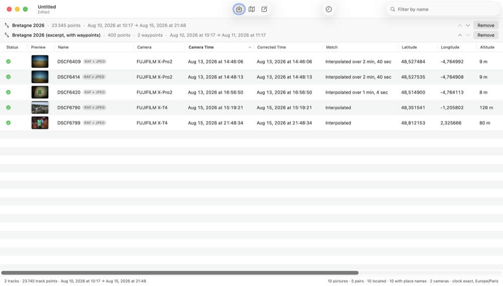
- Import a track (GPX, KML, NMEA log, or FIT from Garmin, Suunto, Wahoo and COROS devices) and pictures or whole folders.
- The Camera Clock sheet corrects the camera's clock from one picture whose real time you know; the time zone is inferred and the reason shown.
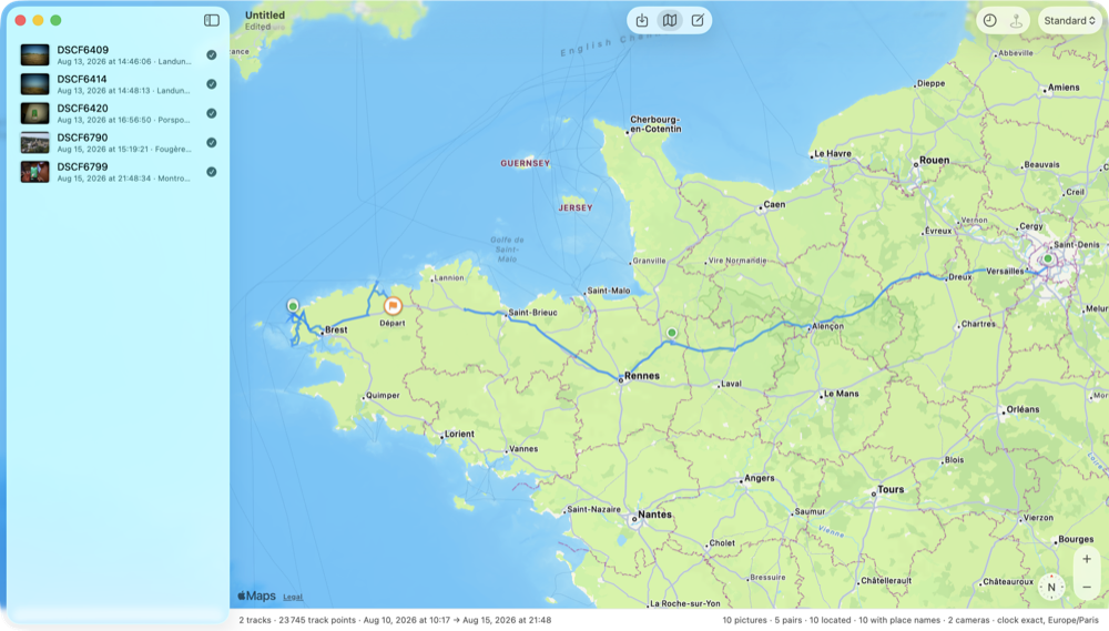
- Map: the track and one pin per picture. Place by hand what the track cannot; use waypoints as places or as times.
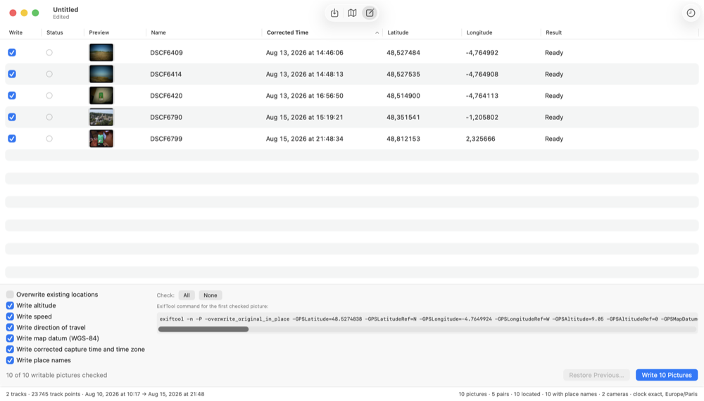
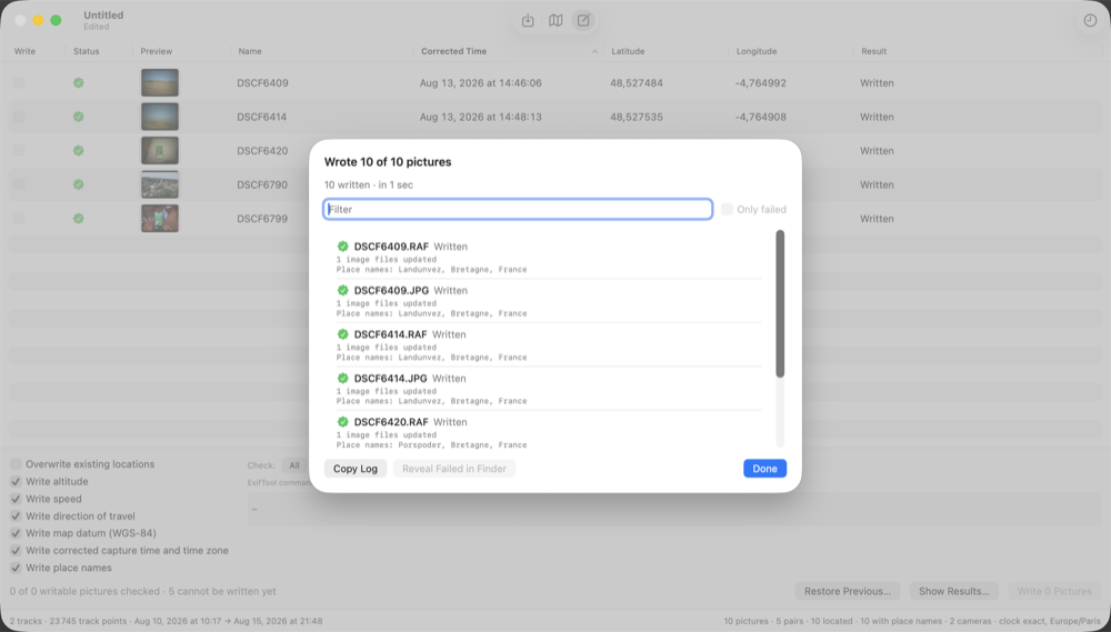
- Write coordinates, altitude, speed, direction and the corrected time into the files with the embedded ExifTool, image data untouched, every file verified by reading the location back.
- Restore Previous Metadata puts files back exactly as they were before a write.
- Apple Photos: optionally updates the matching assets already imported into your library.
- RAW + JPEG pairs are one row, one pin, one checkbox; built for Fujifilm RAF first but not limited to it.
- Quick Look everywhere, drag out as files, undo for everything.
Requirements
macOS 26 or later. Nothing else to install: ExifTool is included in the app.
Credits
ExifTool by Phil Harvey, free software under the same terms as Perl itself, is included unmodified.